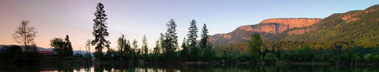
This is a brief situation report to advise of weather and flood conditions for the weekend into early next week.
The forecast is calling for warming temperatures plus precipitation on the weekend. 10-15mm of rain is expected to fall on Saturday and 20mm of rain is expected on Sunday. A low-pressure trough and cold front are expected on Saturday late afternoon/evening, which creates the potential for thundershowers.
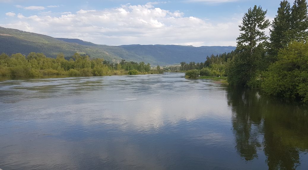
The warming temperatures plus precipitation will cause Shuswap River flows to increase from 383.8 cubic metres per second as of today to 455.5 cubic metres per second on Tuesday.
The BC River Forecast Centre is maintaining a High Streamflow Advisory for the Shuswap River, which means that the Centre is predicting that river levels will rise rapidly and minor flooding in low-lying areas is possible, but major flooding is not expected. However, a High Streamflow Advisory can be escalate quickly depending on variables like temperature and precipitation.
If your property is at-risk of flooding, please take advance measures to protect it. Sand and sandbags are available for free at the Public Works Yard at 2308 McGowan Avenue – please bring your own shovel.
Thunderstorm potential can also produce high-intensity rain events that may cause localized flooding throughout the community. Property owners are encouraged to take precautions to protect their property if they feel that they may be at-risk.
The public is advised to stay clear of the fast-flowing rivers and potentially unstable riverbanks during the high-streamflow period.