
The City of Enderby Emergency Operations Centre is monitoring and responding to localized flood conditions and encourages residents who may live in flood-prone areas to take measures to protect their property.
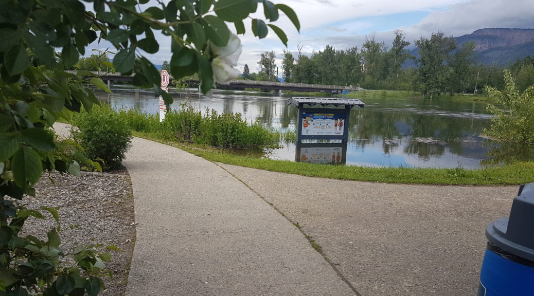
Closures remain in effect for Riverdale Drive, Kildonan Boat Launch, and Tuey Park. Please respect all barricades and signs that are in place.
As of June 24, 2022, at the upstream hydrometric gauge, the Shuswap River water height is 4.74 m (15.55 feet) with a discharge rate of 444 m3/s. In comparison, on Wednesday, June 22, 2022, the Shuswap River water height was 4.81 m (15.78 feet) with a discharge rate of 457 m3/s.
Forecast models are predicting that the Shuswap River discharge rate will begin to slightly decrease throughout the week.
Warm, dry conditions are forecast for today, which will continue to warm into tomorrow.
The BC River Forecast Centre is maintaining a Flood Watch over the Shuswap Region, which includes South Thompson tributaries such as the Shuswap River. A Flood Watch means that the river levels are forecast to rise and will approach or may exceed the river bank. Flooding of areas adjacent to affected rivers may occur.
Sand and sandbags are available for free at the Public Works Yard at 2308 McGowan Street. Please bring your own shovel.
Bookmark the City of Enderby Emergency Dashboard at www.cityofenderby.com/emergency for an up-to-date list of closures, restrictions, advisories, and warnings.