

The City is seeking proposals from a qualified consultant to perform a condition assessment on the Enderby Arena and Curling Rink, along with other related tasks. The facility requires electrical, mechanical and structural assessments to assist in managing the lifecycle … Read the rest “Request for Proposals – Arena Condition Assessment”
Category Archives: City Hall

Enderby Campfire Ban in Effect June 30, 2021 at Noon
The City of Enderby is implementing a campfire ban effective 12pm on Wednesday, June 30, 2021. This ban supplements the prior prohibition that took effect on June 11, 2021, and now includes:
- campfires;
- open burning (all);
- fireworks;
- sky lanterns;
- burn

12 Tips to Stay Safe During a Heat Wave
During a heat wave, residents, visitors, and workers should take extra precautions to protect themselves.
Heat can have a significant impact on human health, ranging from dehydration, heat cramps and exhaustion through to life-threatening heat stroke. Mental, behavioral, and cognitive … Read the rest “12 Tips to Stay Safe During a Heat Wave”

City of Enderby 2020 Annual Report
The 2020 Annual Report for the City of Enderby is now available for public inspection.
The Annual Report includes the following:
- A report on recent and forthcoming municipal services and operations
- 2020 audited financial statements
Council … Read the rest “City of Enderby 2020 Annual Report”
Enderby Fire Ban in Effect as of June 11, 2021
A fire ban will be in effect as of June 11, 2021. The fire ban affects the City of Enderby and the Shuswap River Fire Protection District.
The fire ban matches the Kamloops Fire Centre direction, which prohibits:
- Category 2
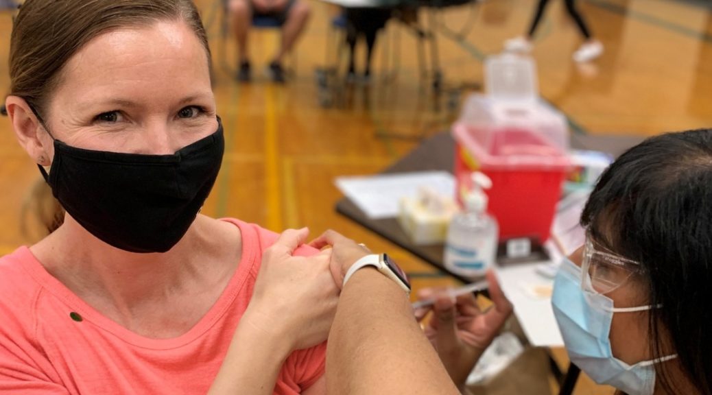
Get Vaccinated in Enderby
Let’s get to community immunity in Enderby!
COVID-19 vaccinations are available for people age 12+ (born 2009 or earlier).
Register and schedule your appointment at https://gov.bc.ca/getvaccinated today.
If you have already received your first dose, make sure you have registered … Read the rest “Get Vaccinated in Enderby”

Enderby Leashes Up its Riverwalk
The City of Enderby now requires that dogs be on-leash when on or within 1 metre of the Riverwalk.
This initiative is intended to:
- reduce conflicts between dogs and other trail users (including other dogs);
- provide some reassurance to other

Eighth Annual Our Enderby Clean-Up Challenge
The Our Enderby Clean-Up Challenge is back with a self-guided format this year, which will enable residents to clean-up and beautify areas throughout the community while maintaining social distancing.
The Clean-Up Challenge will take place on Saturday May 29, 2021 … Read the rest “Eighth Annual Our Enderby Clean-Up Challenge”
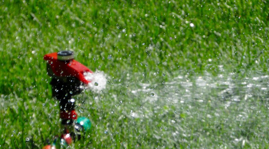
Watering Restrictions in Effect from May 1 to October 1 2021
The City of Enderby Water and Sprinkling Bylaw restricts sprinkling from May 1 to October 1 of every year. This helps to decrease over-watering, water waste, and the related impact upon public infrastructure.
Remember, just because it is your day … Read the rest “Watering Restrictions in Effect from May 1 to October 1 2021”
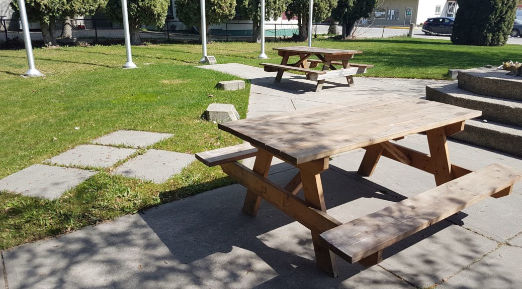
Enderby Adds Picnic Tables In Support of Local Restaurants
Picnic Enhancement Alert!
In support of our wonderful restaurants’ outdoor dining requirement, we temporarily added a bunch of picnic tables to Cenotaph Park and Belvedere Park, courtesy of our friends over at Riverside RV Park Enderby!
Now even more … Read the rest “Enderby Adds Picnic Tables In Support of Local Restaurants”